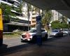
 Moggill Rd at BBC, stop 16
179 miles
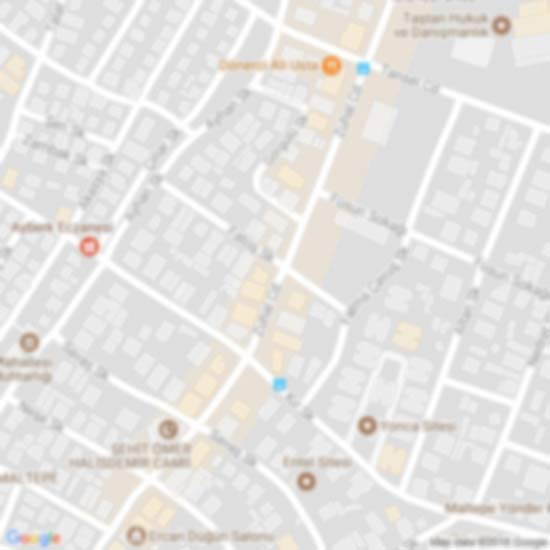
Josling St near Herbert St, stop 16
205 miles
Moggill Rd at BBC, stop 16
236 miles
Gailey Rd at Brisbane Street, stop 16
238 miles
Brisbane St at Kayes Rocks, stop 15
289 miles
Brisbane St at Kayes Rocks Stop 15, Toowong is a bus-stop for Brisbane City Council b... Sir Fred Schonell Dr at Gailey Road, stop 17
291 miles
Sir Fred Schonell Drive at Gailey Rd, stop 17 is the stop for bus route 412 & 402 Jephson St at Toowong
366 miles
Sherwood Rd at Jephson St, stop 15/22
388 miles
High St at Toowong Village, stop 23
391 miles
High Street at Toowong Village Stop 23 is the Brisbane City Council Bus-stop for bus ... Moggill Rd at Morrow Street, stop 17
400 miles
Moggill Rd at BBC, stop 16
179 miles
Josling St near Herbert St, stop 16
205 miles
Moggill Rd at BBC, stop 16
236 miles
Gailey Rd at Brisbane Street, stop 16
238 miles
Brisbane St at Kayes Rocks, stop 15
289 miles
Brisbane St at Kayes Rocks Stop 15, Toowong is a bus-stop for Brisbane City Council b... Sir Fred Schonell Dr at Gailey Road, stop 17
291 miles
Sir Fred Schonell Drive at Gailey Rd, stop 17 is the stop for bus route 412 & 402 Jephson St at Toowong
366 miles
Sherwood Rd at Jephson St, stop 15/22
388 miles
High St at Toowong Village, stop 23
391 miles
High Street at Toowong Village Stop 23 is the Brisbane City Council Bus-stop for bus ... Moggill Rd at Morrow Street, stop 17
400 miles
 Toowong station
422 miles
First time at this station. Now I want the Ipswich train, so where do I go. No signs ... Morrow St near Beatrice St, stop 17/18
435 miles
Toowong station
422 miles
First time at this station. Now I want the Ipswich train, so where do I go. No signs ... Morrow St near Beatrice St, stop 17/18
435 miles
to add Josling St at Perrin Park, stop 18 map to your website;

We use cookies and other tracking technologies to improve your browsing experience on our website, to show you personalized content and targeted ads, to analyze our website traffic, and to understand where our visitors are coming from. Privacy Policy