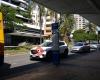
 High St at Toowong Village, stop 23
118 miles
High Street at Toowong Village Stop 23 is the Brisbane City Council Bus-stop for bus ...
High St at Toowong Village, stop 23
118 miles
High Street at Toowong Village Stop 23 is the Brisbane City Council Bus-stop for bus ... Toowong station
152 miles
First time at this station. Now I want the Ipswich train, so where do I go. No signs ... Ascog Tce near Jephson St, stop 16
200 miles
Jephson St near Ventnor St, stop 14
275 miles
Brisbane St at Kayes Rocks, stop 15
287 miles
Brisbane St at Kayes Rocks Stop 15, Toowong is a bus-stop for Brisbane City Council b... Moggill Rd at BBC, stop 16
292 miles
Dean St at Dovercourt Road, stop 20a
323 miles
Josling St near Herbert St, stop 16
326 miles
Toowong station
152 miles
First time at this station. Now I want the Ipswich train, so where do I go. No signs ... Ascog Tce near Jephson St, stop 16
200 miles
Jephson St near Ventnor St, stop 14
275 miles
Brisbane St at Kayes Rocks, stop 15
287 miles
Brisbane St at Kayes Rocks Stop 15, Toowong is a bus-stop for Brisbane City Council b... Moggill Rd at BBC, stop 16
292 miles
Dean St at Dovercourt Road, stop 20a
323 miles
Josling St near Herbert St, stop 16
326 miles
 Sylvan Rd at Bulldogs, stop 13
335 miles
Gailey Rd at Brisbane Street, stop 16
338 miles
Josling St near Mayne Street, stop 17
351 miles
Coronation Dr at Regatta
359 miles
Josling St at Perrin Park, stop 18
366 miles
I got to the worksite 1/2hr early so I decided to sit and look around the park while ...
Sylvan Rd at Bulldogs, stop 13
335 miles
Gailey Rd at Brisbane Street, stop 16
338 miles
Josling St near Mayne Street, stop 17
351 miles
Coronation Dr at Regatta
359 miles
Josling St at Perrin Park, stop 18
366 miles
I got to the worksite 1/2hr early so I decided to sit and look around the park while ... Ascog Tce at Norwood Street, stop 19
381 miles
Ascog Tce at Norwood Street, stop 19
381 miles
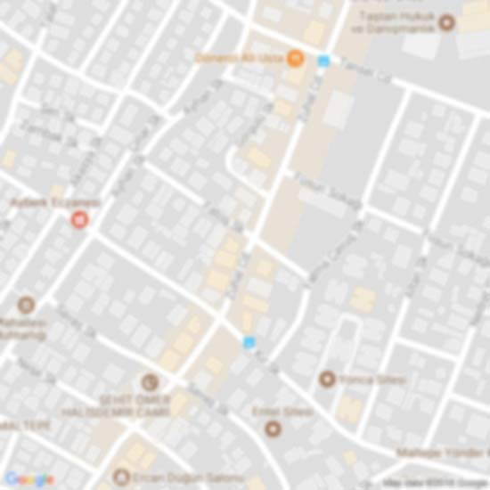
to add Jephson St at Toowong map to your website;

We use cookies and other tracking technologies to improve your browsing experience on our website, to show you personalized content and targeted ads, to analyze our website traffic, and to understand where our visitors are coming from. Privacy Policy