 Power St/Burwood Rd
19 miles
Wattle Rd/Power St
213 miles
St James Park/Burwood Rd
277 miles
Through St/Riversdale Rd
456 miles
Grattan St/Church St
477 miles
Oxley Rd/Glenferrie Rd
487 miles
Brook St/Church St
490 miles
Hawthorn Bridge - Stop 23
522 miles
Urquhart St/Glenferrie Rd
529 miles
Fordholm Rd/Riversdale Rd
532 miles
Power St/Burwood Rd
19 miles
Wattle Rd/Power St
213 miles
St James Park/Burwood Rd
277 miles
Through St/Riversdale Rd
456 miles
Grattan St/Church St
477 miles
Oxley Rd/Glenferrie Rd
487 miles
Brook St/Church St
490 miles
Hawthorn Bridge - Stop 23
522 miles
Urquhart St/Glenferrie Rd
529 miles
Fordholm Rd/Riversdale Rd
532 miles
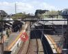
 Glenferrie
538 miles
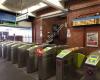
Well maintained station with nice staff. Public safety officers appear quite often es... Chrystobel Cr/Glenferrie Rd
546 miles
Barkers Rd/Church St
587 miles
Findon St
1 km
Glenferrie
538 miles
Well maintained station with nice staff. Public safety officers appear quite often es... Chrystobel Cr/Glenferrie Rd
546 miles
Barkers Rd/Church St
587 miles
Findon St
1 km
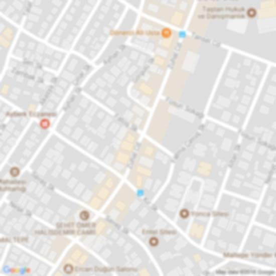
to add Burwood Rd/Power St map to your website;

We use cookies and other tracking technologies to improve your browsing experience on our website, to show you personalized content and targeted ads, to analyze our website traffic, and to understand where our visitors are coming from. Privacy Policy