
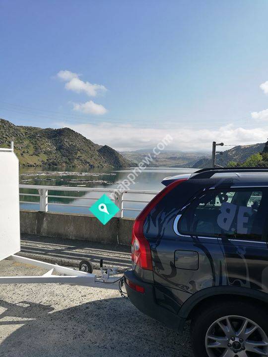
The Roxburgh Dam is the earliest of the large hydroelectric projects in the southern South Island of New Zealand. It lies across the Clutha River / Mata-Au, some from Dunedin, some to the north of the town of Roxburgh. The settlement of Lake Roxburgh Village is close to the western edge of the dam.HistorySite investigationsIn 1944 the State Hydro Department estimated that even with the power stations currently under construction they would only be able to meet projected South Island load up until 1950 or 1951 and that a new large power station was required. Detailed investigations by the Public Works Department identified two alternatives, Black Jack's Point on the Waitaki River (where eventually Benmore Power Station would be built) and Roxburgh Gorge on the Clutha River. The Roxburgh location had the advantage of being less remote, requiring less geological investigation, half the materials for the same power output and a better climate in which to undertake construction work, which were important considerations at a time of serious shortages of labour and cement. Historical records showed that the long term flow of the river was 17,650 cusecs (499.8 m3/s) and that a controlled flow of 15,000 cusecs (424.7 m3/s) would be possible through the power station. To avoid exceeding the height of the 1878 flood at Alexandra, the maximum retention level of the lake which would be impounded behind the dam was fixed at 430 ft (131.1 m) above sea level. The designers estimated that with an overall efficiency of 85% the mean output would be 160 MW and assuming an annual power factor of 50% the station could deliver a maximum output of 320 MW.
to add Roxburgh Dam map to your website;